Hiking trail : the Falconnière
Hard
3h
4.5km
Loop
+429m
-429m
Description
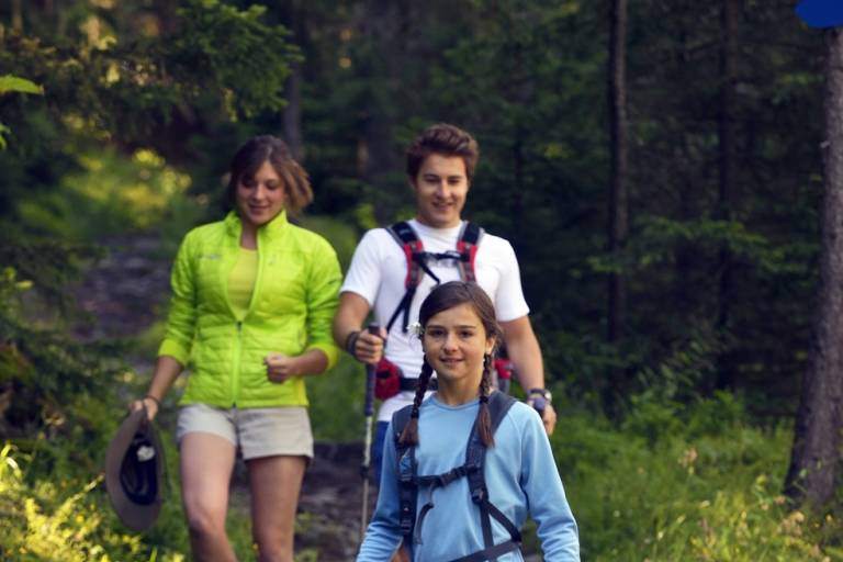
Starting from the hamlet of le Miroir, a pretty path in the forest with steep slopes. View over the whole of the upper Isère valley.
Map available in digital and paper version at the Tourist Office of the resort.
From the Miroir car park, cross the hamlet of Le Miroir. At the top of the hamlet, take the path rising on your left towards La Falconnière. Once you arrive at the hamlet, which is made up of a few mountain chalets, turn right onto a flat downhill path through the Miroir forest. Before the scree, stay on the forest path on your right. Continue to the hamlet of Le Miroir.
Pricing
Free access.
Langues
Route GPX track
73640, Sainte-Foy-Tarentaise
From 01/04 to 30/11.
Subject to favorable snow and weather conditions.