Hiking trail : Moneti Pass and the Lac Noir


1 / 3
Hard
6h
13.2km
Loop
+803m
Description
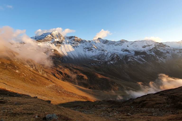
This hike allows you to discover several key sites in one day: the Savonne, the Sassière, the Lac Noir and the hamlets of the Mercuel valley.
Map available in digital and paper version at the Tourist Office of the resort.
During this walk, you will discover several important sites in one day: the Savonne, the Sassière, the Lac Noir and the hamlets of the valley of the Mercuel.
From the Pierre Giret parking lot, follow the paved road for 100 m, and after the bridge over the Savonne, take the path that rises to the left along the stream. After about 15 minutes, turn right onto the Chemin de la Sassière. Take the pastoral road from la Sassière and follow it to the plateau. Walk on the plateau for several hundred meters. The Refuge is well in sight on the plateau. Proceed and cross the stream via the bridge, cross the ruined hamlet of La Sassière, cross a second stream via a small footbridge, and then go left up a small path to a plateau. Cross a mountain stream and reach Montséti Pass via steep slopes. Turn left to descend to Lac Noir. At the end of the lake, the trail begins to descend. At a fork, turn left into the path that leads to the hamlet of La Motte (refuge de l'Archeboc). Follow the pastoral road to the hamlet of Les Côtes and then turn right into a path towards Pierre-Giret and La Savonne. After the large mountain stream of La Sassière (sometimes tricky crossing). Take the path that leads back to the Savonne and the parking lot.
Pricing
Free access.
Langues
Route GPX track
Parking Pierre Giret, 73640, Sainte-Foy-Tarentaise
From 01/05 to 30/11.
Subject to favorable snow and weather conditions.